

Rare La Nina “Triple Dip” happens for the first time since 2001
Ryan McMahon gives his outlook on what we should expect from the weather this year
Living in Michigan, the thing that is consistent about the weather is that it is inconsistent . What was a sunny, seventy degree day can quickly descend into a blizzard overnight. At times it seems that Mother Nature randomly picks the temperatures and we are left to fend for ourselves. This year will be no different when the infamous “La Niña” strikes the Lower Peninsula for the third year in a row, a streak that hasn’t happened since the late nineties.
The process starts far North with the polar jet stream. This course of cold air is held at the North Pole by the polar vortex. When this vortex is loosened from the poles this causes the polar jet stream to push southward which brings in colder air to Michigan. This is what causes lower temperatures during the winter and is known as the “La Niña” winter. If this was the only effect, we would simply see more ice and frost in the morning, but this effect has a global impact which eventually makes its way back to Michigan.
Matt Harold, a science teacher at East High School, can give input on West Michigan’s unique weather, a subject that interests both him and the students he teaches it to. What is significant about this round of Old Man Winter is his third consecutive return to the mitten.
“It’s not unprecedented but we’ve heard of a La Niña several times between 1903 and 2010, but
obviously it’s the global effect the big part,” Harold said.
This global effect starts off the west coast of South America with cold polar air intruding the equatorial regions and creating strong eastward trade winds that shift the currents of the ocean
and begin a process called upwelling.
“And the upwelling happens that causes this sort of, so you get colder water from deeper depths comes up to the surface,” Harold said.
Warmer air over colder water makes its way to the American west coast and creates an increase in precipitation. In Southeastern Asia, this process intensifies the monsoon season and has a global effect.
“But what’s interesting, I always feel about this one is actually, how much it really impacts the area of the Philippines, Indonesia, Australia,” Harold said.
Back in America when these water heavy systems make their way across the plains and into the upper Midwest and combine with already cold air this means only one thing; snow.
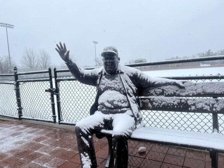
West Michigan has already seen this effect from Lake Michigan which resulted in lake effect snow. This combined with the western systems will bring significant amounts of snow for our region.
Grand Rapids receives an average of seventy seven inches of snow every winter, an amount we are expected to exceed in the coming months.
“I’m sure that the forecasters are showing things probably in the 90 inch range around here again,” Harold said.
The Southeast and Southwest receive a drier winter when all the precipitation is focused on the midwest and east coast but these effects can be reversed when we receive El Niño winters.
“You have the polar air coming down and you get that drier warmer. Whereas the wet, the wet area is down here in the south,” Harold said.
Having one or the other isn’t an absolute because another factor is the intensity of both of the winters.
“Someone will be mild, someone will be strong, but we’re having three strong line years in a row,”
Harold said.
A winter to remember by many Midwesterners is the blizzard of 1978. Although this storm hap-pened during an El Niño winter, it was caused by many factors often seen in a La Niña. Harold can recall the heavy snow accumulation decades later.
“Everything was shut down. It was just interesting watching, you know, trying to think through like, what do you do in a case like that? Like you’re just thinking about trying to dig yourself out,” Harold said.
Weather that will have us digging our ways out probably won’t come for some time, however, with
La Niña’s delayed effect that brings the harsh weather during the Late January to Mid-February timeframe. While for now Grand Rapids has sunshine with the occasional flurry there is one thing for certain: winter is coming.